Ohio COVID-19 Dashboard
A Simple, Client Side Tracking Dashboard for COVID-19 in Ohio
Update: This visualization is no longer being updated. There are a wide variety of authoritative COVID-19 trackers on the internet, including ones from Bing, Google, National Geographic, the New York Times, as well as the sites listed at the bottom of this post. Please refer to these for the latest updates. What follows below is my take on a COVID-19 tracker using open source tools.
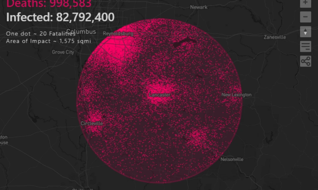
Ohio and Governor Mike Dewine have been at the forefront of the fight against the coronavirus epidemic. This pandemic has reached all corners of Ohio, from rural Appalachia to our urban centers. To track the spread and scope of the virus for my home state I created a simple COVID-19 tracking dashboard. This dashboard tracks total cases, the rate of growth, and the spread of the virus by county.
Data for this dashboard comes directly from Ohio Department of Health (ODH). For a in-depth analysis of this data, ODH has created a detailed dashboard that breaks down infections by age, gender, hospitalizations, and more.
I originally published this dashboard before the official ODH visualization went live. Access to reliable data has been a challenge, and data sources have changed multiple times since I first began tracking the epidemic in Ohio in early March. Initially the data source for this dashboard consisted of a shared Google spreadsheet. As the virus began to spread to more and more counties, keeping this sheet updated became increasingly difficult. Fortunately the ODH began publishing their data in a machine-readable format. Using a simple NodeJS script this dashboard can now be updated automatically once new ODH data is available. Other sources consulted for the initial stages of this project include the Johns Hopkins University GitHub repo, the Corona Data Scraper project, and the University of Virginia.